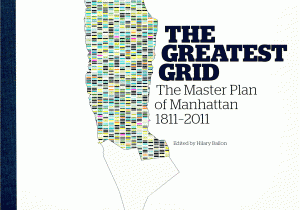
Edited by Hilary Ballon
Laying out Manhattan's street grid and providing a rationale for the growth of New York was the city's first great civic enterprise, not to mention a brazenly ambitious project and major milestone in the history of city planning. The grid created the physical conditions for business and society to flourish and embodied the drive and discipline for which the city would come to be known. Published to coincide with an exhibition at the Museum of the City of New York celebrating the bicentennial of the Commissioners' 1811 Plan of Manhattan, this volume does more than memorialize such a visionary effort, it serves as an enduring reference full of rare images and information.
The Greatest Grid shares the history of the Commissioners' plan, incorporating archival photos and illustrations, primary documents and testimony, and magnificent maps with essential analysis. The text, written by leading historians of New York City, follows the grid's initial design, implementation, and evolution, and then speaks to its enduring influence. A foldout map, accompanied by explanatory notes, reproduces the Commissioners' original plan, and additional maps and prints chart the city's pre-1811 irregular growth patterns and local precedent for the grid's design. Constituting the first sustained examination of this subject, this text describes the social, political, and intellectual figures who were instrumental in remaking early New York, not in the image of old Europe but as a reflection of other American cities and a distinct New World sensibility. The grid reaffirmed old hierarchies while creating new opportunities for power and advancement, giving rise to the multicultural, highly networked landscape New Yorkers thrive in today.
New York, 2012, 31cm x 23.5cm, illustrated, 224pp. Hardback.
